
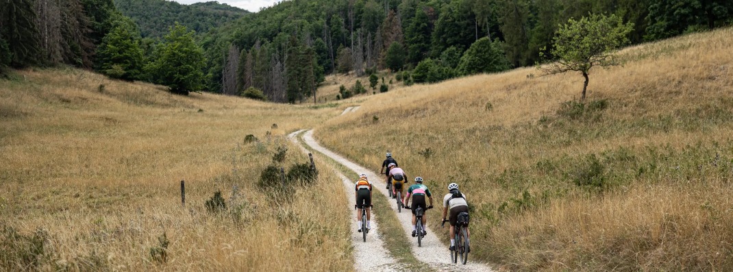

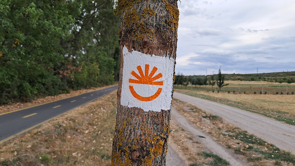
Horizont is Hungary’s large-scale national cycling adventure route, taking cyclists across the country’s mountain regions between Tokaj and Szentgotthárd, with the route also passing through Eger.
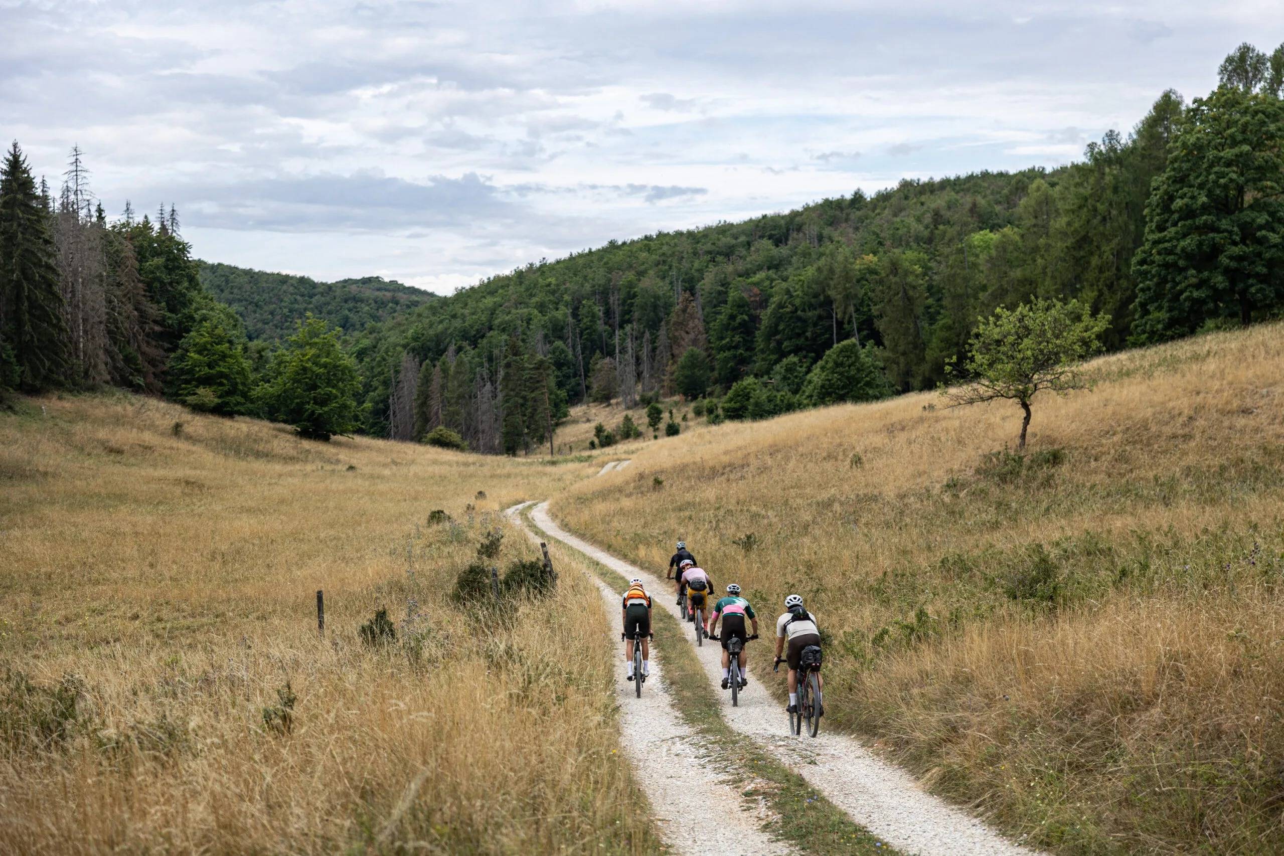
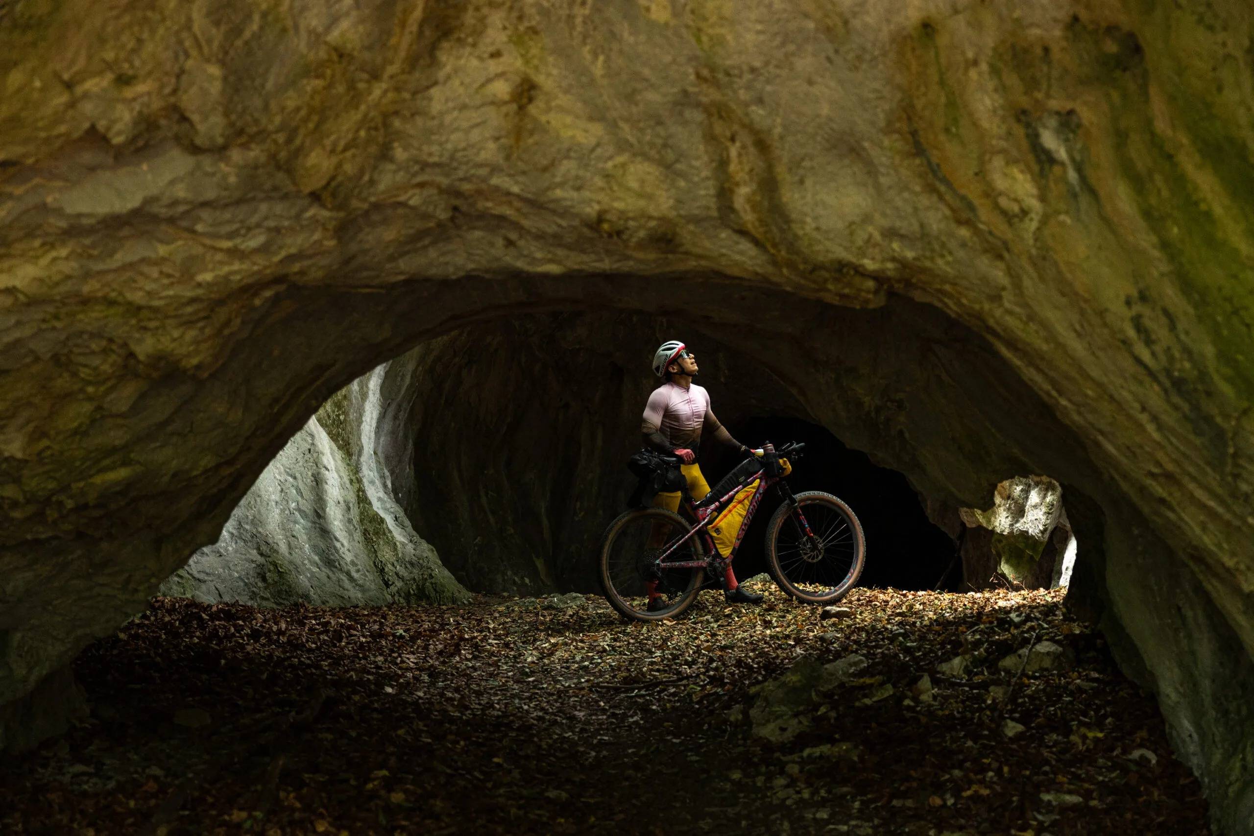
The planned route of approximately 1,500 kilometres runs mainly off-road, through forests and mountainous landscapes, connecting natural and cultural attractions, smaller settlements and diverse regions along the way.
Horizont is not designed exclusively for experienced athletes, although some sections include significant climbs, gravel and dirt roads, as well as more technical terrain. The route can also be completed section by section. Using the Horizont app, cyclists can collect virtual stamps, track their achievements and find information about attractions and services available along the route.
Horizont in Eger
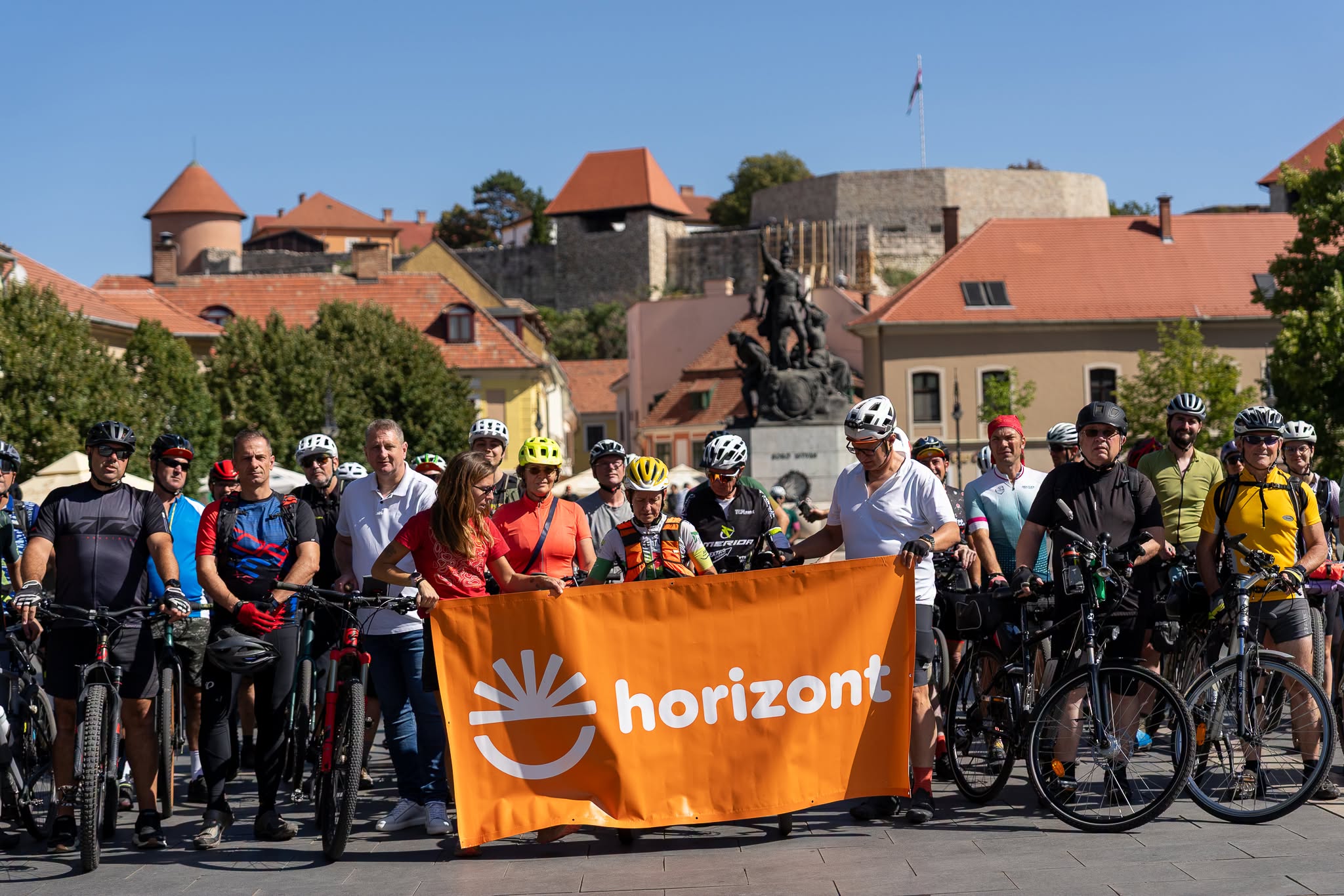
Eger is a special point along the route: Stage 7 of Horizont ends in the city, while Stage 8 starts from here. The stamping point for both stages is located in the heart of the historic city centre, on Dobó István Square.
Stage 7: Bánkút – Eger
Distance: 58.2 km
Elevation gain: 688 m
Descent: 1,413 m
The section from Bánkút to Eger passes through some of the most beautiful cycling terrain in the Bükk Mountains. Plateau meadows, beech forests, long gravel descents through woodland and spectacular panoramas alternate along the route, which approaches Eger via attractions including Bél-kő and Lake Felsőtárkány.
After Felsőtárkány, the tour continues through the Nagy-Eged area before reaching Eger from the vineyards of Merengő. At the end of the stage, cyclists are welcomed by the historic city centre and can collect a virtual stamp on Dobó István Square.
Detailed route and map:
horizontbike.hu/szakasz/bankut-eger/
Stage 8: Eger – Recsk
Distance: 40.5 km
Elevation gain: 619 m
Descent: 603 m
The next stage starts directly from Eger’s city centre. Cyclists leave the city following the stream, then gradually enter the peaceful forests of the Ó-Bükk area via Felnémet and Almár. For part of the route, Horizont follows the National Blue Trail, before continuing through forests and smaller settlements towards Recsk.
One of the most spectacular points of the tour offers a wide panorama of the north-western slopes of the Mátra Mountains. The route later continues around Terpes and Szajla before passing Lake Búzás-völgy and reaching the end of the stage in Recsk.
Detailed route and map:
horizontbike.hu/szakasz/eger-recsk/
Before you set off
Some sections of Horizont feature significant elevation changes and terrain of varying quality, so it is always worth checking the detailed route and the latest information for your chosen stage before departure. To record your achievements and collect virtual stamps, download the Horizont app.